Building Intelligent WebGIS Platforms: From Concept to City-Scale Impact
A deep dive into how Smart City GIS designs, validates, and deploys intelligent WebGIS systems — merging geospatial analytics, AI, and full-stack engineering to create smarter, more connected cities.
Smart City GIS Team
Modern cities generate massive amounts of spatial data — from traffic sensors to mobile devices, from environmental monitors to logistics networks.
At Smart City GIS, our mission is to turn this data into actionable insight using WebGIS platforms, AI-driven analytics, and LLM-based assistants that empower decision-makers and automate complex workflows.
In this article, we’ll walk through our end-to-end development process for building scalable, intelligent WebGIS systems — the same methodology we’ve refined across several city-scale projects.
Phase 1: Understanding the Spatial Problem
Every project starts by defining the spatial questions that matter most.
For our Smart Logistics Platform, the challenge was to optimize delivery routes and infrastructure utilization while reducing travel time and emissions.
We began by working with stakeholders to outline key data sources:
- IoT sensors and GPS streams
- Urban infrastructure shapefiles
- Real-time traffic and weather data
- Historical delivery logs
This early stage focuses on data clarity and goal alignment — before any code or map layers are drawn.
Phase 2: Data Integration & Architecture Planning
Spatial data comes in diverse formats — raster, vector, tabular, and sometimes messy.
Our team builds a data integration pipeline that cleans, harmonizes, and connects these sources into a consistent structure using:
- PostGIS for spatial indexing and querying
- Python / GeoPandas for preprocessing
- ETL scripts for live data ingestion
At this stage, we design an API-first architecture, allowing both internal tools and external clients to access spatial data efficiently.
Our WebGIS backends typically follow a microservice pattern with REST/GraphQL endpoints powered by Node.js and FastAPI.
Phase 3: Prototype & Validation
With the backend foundations ready, we move into rapid prototyping using Nuxt, MapLibre, and Deck.gl.
Our focus is always on testing data usability before final visuals.
We ask questions like:
- Are map layers intuitive and performant?
- Can users filter and analyze spatial data seamlessly?
- Is latency acceptable for real-time dashboards?
Each prototype is validated with domain experts — from traffic engineers to environmental planners — to ensure that our system delivers actionable context, not just visuals.
Phase 4: AI and LLM Integration
A major innovation in our workflow is integrating Large Language Models (LLMs) to support spatial reasoning and automation.
Instead of requiring users to master SQL or GIS query languages, our platform enables natural language interaction:
“Show me the areas with the highest traffic density in the last 2 hours.”
“Suggest optimal warehouse locations near highway access within 5 km.”
Behind the scenes, our custom LLM agents translate such prompts into PostGIS queries and visualize results directly on the map.
This dramatically reduces technical barriers and empowers non-specialist users to leverage geospatial intelligence.
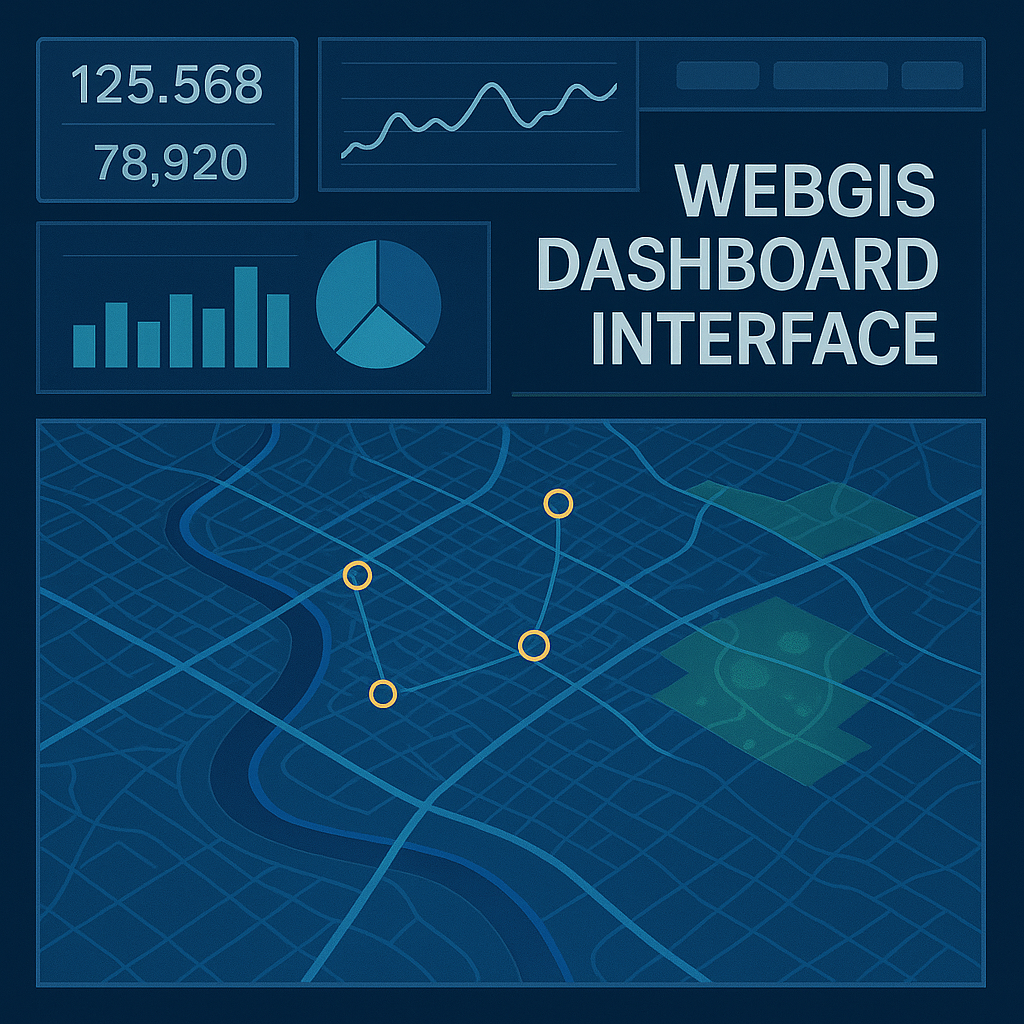
Phase 5: Frontend Experience & UX Design
We believe good data deserves a good interface.
Our design principles for WebGIS UX:
- Performance with clarity — smooth pan/zoom, crisp vector rendering
- Contextual insight — tooltips, overlays, and AI explanations
- Scalable visuals — unified color schemes, responsive layouts
- Validation-first workflows — step-by-step interactions that confirm assumptions
By blending geospatial visualization with interactive analytics, we create experiences that feel alive, not static dashboards.
Phase 6: Deployment, Monitoring & Continuous Improvement
Once validated, the system is containerized (Docker + Kubernetes) and deployed to cloud infrastructure.
We implement continuous monitoring with tools like Grafana and Prometheus, tracking:
- API response times
- Query performance
- Data freshness
- User interactions
Weekly review cycles focus on iterative enhancement — refining LLM prompts, optimizing indexes, and introducing new analytics layers as client needs evolve.
Results & Measurable Impact
Our WebGIS platforms have delivered significant real-world outcomes:
- 35% reduction in route inefficiency across pilot logistics networks
- Real-time visibility into over 1.2M spatial data points
- Faster decision-making for infrastructure and policy planning
- Increased engagement among non-technical users through LLM interfaces
By combining data engineering, AI, and design, we’ve helped organizations transition from data collection to data intelligence.
Key Takeaways
- Start with the question, not the map — clarity in goals drives better architecture.
- Treat spatial data as a product — maintain it, version it, document it.
- Prototype early, validate often — test usability with real users, not just developers.
- AI is a bridge, not a black box — LLMs empower, but don’t replace human reasoning.
- Simplicity scales — clear design and modular architecture win over complexity.
Conclusion
At Smart City GIS, we view WebGIS not just as a mapping tool, but as a decision platform — where data, intelligence, and human insight converge.
The cities of the future will be data-rich, but the real challenge is making that data useful.
Through intelligent systems that understand context and empower users, we’re helping to build the next generation of smart, sustainable urban solutions.
If you’re working on a spatial project and want to integrate AI or LLM-driven insights, feel free to contact us.
Let’s build smarter cities — together.
Optimizing Urban Logistics with AI and Spatial Intelligence
A deep dive into how Smart City GIS leverages machine learning and spatial analytics to design efficient logistics networks and intelligent route planning systems.
How LLMs Are Transforming Geospatial Analysis
Exploring how large language models are reshaping GIS workflows — from natural language spatial queries to automated data interpretation and decision-making.